Breaking
🔴
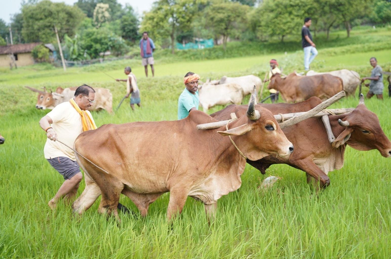
Farming is more than a livelihood, it is a way of life: Chief Minister Shri Vishnu Deo Sai
🔴
Chief Minister Shri Vishnu Deo Sai offers prayers at Shri Phaleshwarnath Mahadev Temple on Sawan Somwar and Nag Panchami
🔴
Chief Minister Shri Vishnu Deo Sai releases ‘Gaj Rath Yatra’ book to promote human-elephant coexistence
🔴
Shri Atal Ji’s Resolve and Vision Gave Chhattisgarh a Distinct Identity; State Progressing on the Path of Good Governance and Antyodaya: Chief Minister Shri Vishnu Deo Sai
🔴
Shri Dilip Singh Judeo’s Dedication to Nation, Society and Sanatan Culture Will Always Be Remembered: Chief Minister Shri Vishnu Deo Sai
🔴
Preserving Heritage Through the Lens: Acclaimed Filmmaker Padma Shri Dr. Chandraprakash Dwivedi Calls on Chief Minister Shri Vishnu Deo Sai
🔴
‘Tiranga’ Symbolises Our National Identity, Pride and Unity: Chief Minister Shri Vishnu Deo Sai
🔴
Learning from the Pain of Partition and Preserving the Nation’s Unity and Integrity Is Our Collective Responsibility: Chief Minister Shri Vishnu Deo Sai
🔴
Chief Minister Shri Vishnu Deo Sai visits Aghor Guru Peeth at Banora on Guru Purnima, Seeks Blessings from Baba Priyadarshi Ram
🔴
Chhattisgarh Chief Secretary Shri Vikas Sheel Calls for Climate-Resilient Rural Action Plans at Gram Panchayat Level
🔴
Farming is more than a livelihood, it is a way of life: Chief Minister Shri Vishnu Deo Sai
🔴
Chief Minister Shri Vishnu Deo Sai offers prayers at Shri Phaleshwarnath Mahadev Temple on Sawan Somwar and Nag Panchami
🔴
Chief Minister Shri Vishnu Deo Sai releases ‘Gaj Rath Yatra’ book to promote human-elephant coexistence
🔴
Shri Atal Ji’s Resolve and Vision Gave Chhattisgarh a Distinct Identity; State Progressing on the Path of Good Governance and Antyodaya: Chief Minister Shri Vishnu Deo Sai
🔴
Shri Dilip Singh Judeo’s Dedication to Nation, Society and Sanatan Culture Will Always Be Remembered: Chief Minister Shri Vishnu Deo Sai
🔴
Preserving Heritage Through the Lens: Acclaimed Filmmaker Padma Shri Dr. Chandraprakash Dwivedi Calls on Chief Minister Shri Vishnu Deo Sai
🔴
‘Tiranga’ Symbolises Our National Identity, Pride and Unity: Chief Minister Shri Vishnu Deo Sai
🔴
Learning from the Pain of Partition and Preserving the Nation’s Unity and Integrity Is Our Collective Responsibility: Chief Minister Shri Vishnu Deo Sai
🔴
Chief Minister Shri Vishnu Deo Sai visits Aghor Guru Peeth at Banora on Guru Purnima, Seeks Blessings from Baba Priyadarshi Ram
🔴
Chhattisgarh Chief Secretary Shri Vikas Sheel Calls for Climate-Resilient Rural Action Plans at Gram Panchayat Level